Our Communities
-

Cecil
Cecil, Alabama is an unincorporated community in Montgomery County and once had a post office that closed in 1986 but still has its own ZIP code, 36013. It has 451 people and 152 households, with an average age of 44. The community has Macon East Academy, a private school. Although unincorporated, Cecil’s history reflects Alabama’s early settlement.
European settlers arrived in Alabama starting with Spanish explorers in the 1500s, followed by the French in the early 1700s. After Alabama became a state in 1819, Native American lands were opened for new settlers, many coming from Tennessee and the Gulf Coast. Cecil grew as a small farming community with stores serving as local centers.
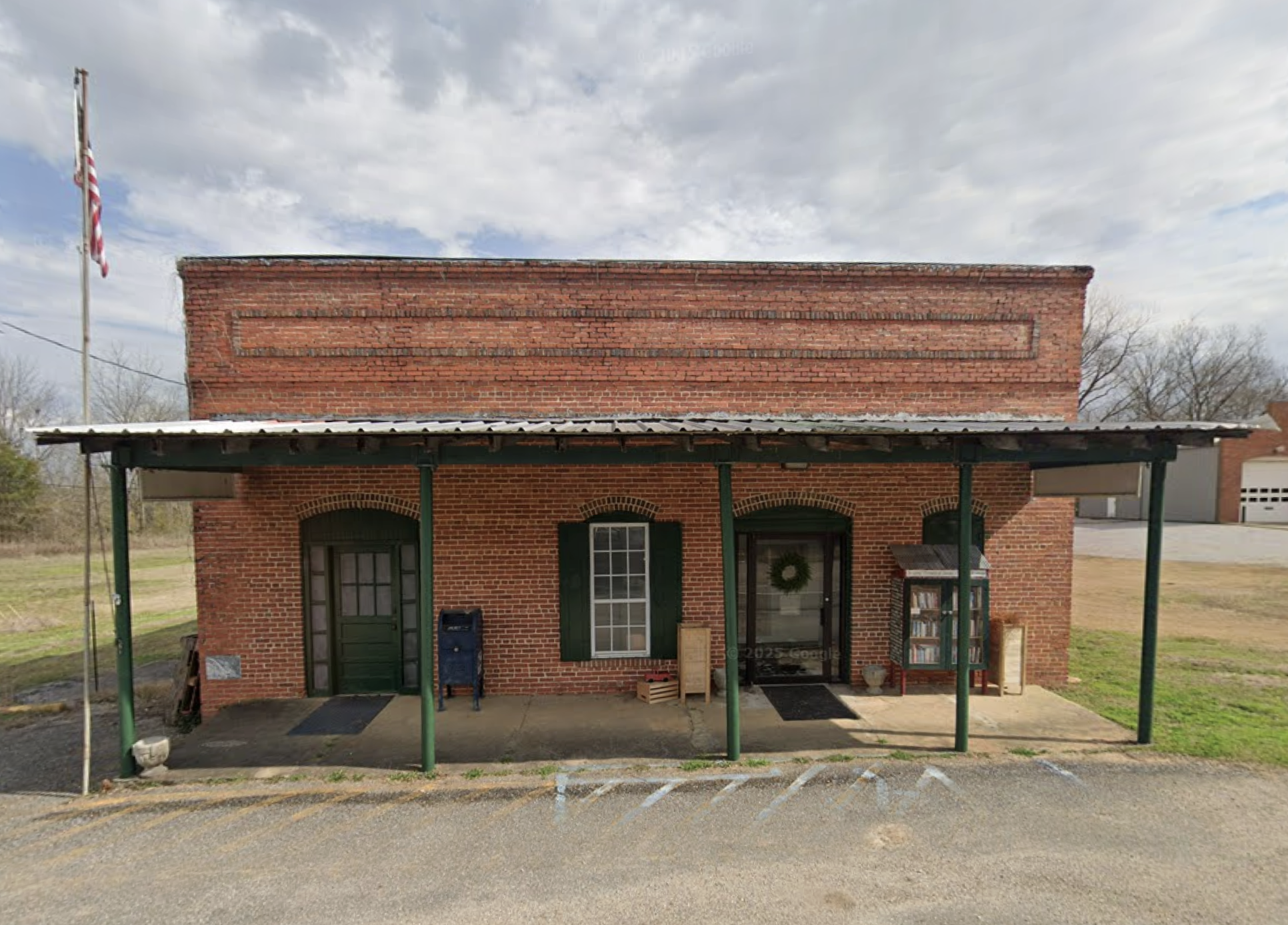
Brewer Church, founded in 1898 and named for its first pastor George Evans Brewer, a former State Senator and Confederate Army leader, is a local landmark. Another key spot is The Market at John Hall Store, located in the old store that was once a community icon.
-
Mathews
The Mathews, Meriwether, and Marks families were among the first to settle the area in the mid-1800s, marking the beginning of a vibrant community that continues to thrive today. Mathews, an unincorporated community with 847 residents, traces its roots back to the early 1800s. Named after George Mathews, a distinguished Revolutionary War hero and former Georgia Governor, the town quickly became a key hub for trade and social gatherings.
Families like the Meriwether, Mathews, and Marks established their homes here around 1815, contributing to the strong foundation of community spirit that still defines Mathews. Over the past twenty years, the town has experienced significant growth as more people are drawn to its peaceful, scenic countryside—a place where natural beauty and a rich history come together to offer a truly welcoming home.
-
Merry
Merry is a charming community situated at the crossroads of Pike Road and Vaughn Road, now proudly incorporated into the Town of Pike Road. At its center stands the Town Hall, serving as a hub for local governance and community events.
Back in the late 1800s, the Seaboard railroad line played a vital role in connecting Merry to the larger region. The depot here was initially named Scotia but was soon changed to Merry Depot to avoid confusion with another station bearing the same name. This depot was located just beyond what is now the Providence neighborhood.
Longtime residents fondly recall Pinkston’s general store, a beloved local landmark that once occupied the site where the CVS pharmacy stands today. These pieces of history contribute to Merry’s unique character and its importance within the Town of Pike Road.
-

Mount Meigs
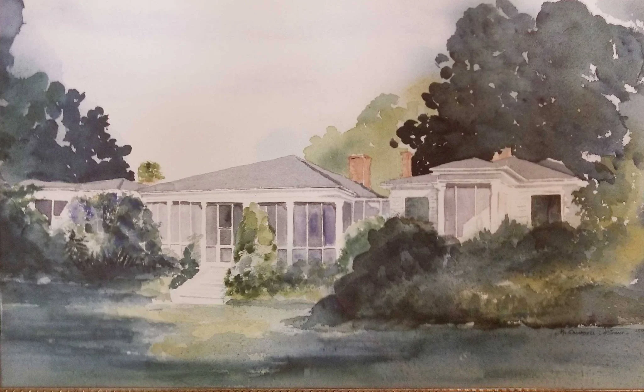
Mount Meigs, settled shortly after the Creek Indian War in 1814, sits proudly on the historic Federal Road. Early settlers from Georgia, Virginia, and the Carolinas were drawn to this wilderness frontier, cultivating a vibrant community that blossomed into a prosperous planter society. By the time of the Civil War, Mount Meigs was renowned for its wealth, political clout, and rich social life, featuring a theatre, horse track, and sprawling plantation estates that showcased the area’s grandeur.
Today's residents often trace their roots back to these original founding families, maintaining a deep connection to the community's heritage. Among the treasured historic landmarks are Grace Episcopal Church and the Georgia Washington School, a significant institution now known as Pike Road School, both standing as proud symbols of Mount Meigs’ enduring legacy.
For those interested in an intimate glimpse of this remarkable history, John B. Scott, Jr.'s book Memories of the Mount beautifully captures the spirit and stories of Mount Meigs, preserving the memories of a community steeped in tradition and resilience.
-

Pike Road
Pike Road takes its name from a historic toll road where travelers were required to pay a "pike" fee to use the route. The area was first settled around 1815, and by the mid-1800s, a thriving farming community had developed at the crossroads of Pike and Meriwether Roads. This community supported various local businesses, including cotton gins and general stores that catered to farmers and travelers alike. In 1919, the Pike Road Consolidated School opened its doors, quickly becoming not just an educational institution but also a central gathering place for the residents until it closed in 1970. As the area experienced growth and the construction of an interstate bypass altered local traffic patterns, the residents held a vote in 1997, overwhelmingly choosing—with 97% approval—to incorporate Pike Road as an official town. Following this new status, a modern town hall was built and opened in 2010 to better serve the community’s administrative needs. After resolving important boundary agreements with the nearby city of Montgomery, Pike Road proudly established its own independent school system in 2015, marking a key milestone in its development. To accommodate the town’s increasing population, the original school building was revitalized and reopened as the middle school, continuing its long tradition of serving generations of residents in Pike Road.
-

Waugh
Waugh, Alabama, holds a special place in the history of Montgomery County, reflecting the story of early American settlement and growth. The community owes its name to the Waugh family, pioneers who helped shape the area’s agricultural beginnings. Nestled along the historic Federal Road, Waugh was a critical stop for travelers and traders moving through the region. Lucas Tavern, one of its most notable landmarks, served not only as a rest point for weary travelers but also famously hosted the Marquis de Lafayette, linking Waugh to the larger narrative of American history.
In its early days, Waugh thrived on cotton farming and timber, two industries that were vital to the economy of Montgomery County. These industries brought prosperity and helped shape the character of the community. As time went on, Waugh transformed from a bustling agricultural hub to a quiet, peaceful residential area, all the while maintaining the rural charm that gives it a unique identity. Today, Waugh remains a testament to the enduring legacy of early settlers and the continuing story of Montgomery County’s development.